
Desert Queen Dam
/Trek Date: May 28, 2016
Ok, so most of my 49 constant readers are probably thinking to themselves, "I've never heard of the Desert Queen Dam. Sure, I've been to the Desert Queen Mine, the Desert Queen Well, I've taken the tour at the Desert Queen Ranch and read about the Desert Queen Petroglyphs, but what is this Desert Queen Dam? I think this guy's been out in the sun too long."
And that may be true. I have hiked a lot in JTree during the coyote days of summer, but those are tales found in other places on this website. This particular story began (as many of my adventures do) with Google Earth (GE for short) open on my computer during some slow time at work (no need to mention this to my boss).
Google Earth is great for discovering places to discover, and for planning routes on how to get there. The audacious explorer and 3D photographer, Murbachi, had previously told me about a man-made dam located near the southern end of Gold Dust Gulch, near the DQ Mine. I had previously attempted to reach it from the north, but was repulsed by an amount of boulder scrambling I was not wont to do. But it remained in the back of my mind.
A few weeks prior to this trip, I was searching out the area on GE, looking for the dam. I found the dam and much to my surprise, I beheld the distinctive shape of a grated mine shaft quite nearby. I would have traversed the distance to the dam on some future JTree trip, but the addition of a mine in the area (with both at a relatively easy hiking distance from parking), put this exploration at the top of my list. And that's how a lot of my trips come into being, by spotting something interesting on GE.
With map, GPS, camera and survival gear, Murbachi and I set out to see what we could find. I had explored this are a bit a couple times earlier this year, and it is fast becoming one of my favorite places in the park (you'll see why from the photos in this post). From those previous trips and research prior to this outing, I had a pretty good idea where we needed to go to find our two main objectives for the day. Of course, as so often happens in JTree, explorers often find more than they had planned on. Click HERE to visit Murbachi's report on this trip and to see some amazing 3D images.
After leaving Tacoma Red in the parking area for the Desert Queen Mine/Pine City trailheads, we set out following a large wash that headed south. The park had had an amazing bloom during the recent Spring, but by the time of this trip, most of the wildflowers had passed on.
Some of the cactus plants were showing off a bit, however. Like this Silver Cholla, just beginning to bloom.
I'm not sure why, but I have a strong affinity for the Piñon Pine. I admire their tenacity and ability to thrive in this desert climate. And they are so picturesque. In fact, this report should probably be subtitled "The Piñon Pine Post" as I photographed a large number of them along the way to the Desert Queen Dam.
All kinds of plants enjoy living in and near the washes in JTree. This Desert Thistle stood about four feet tall and was in three stages of blooms.
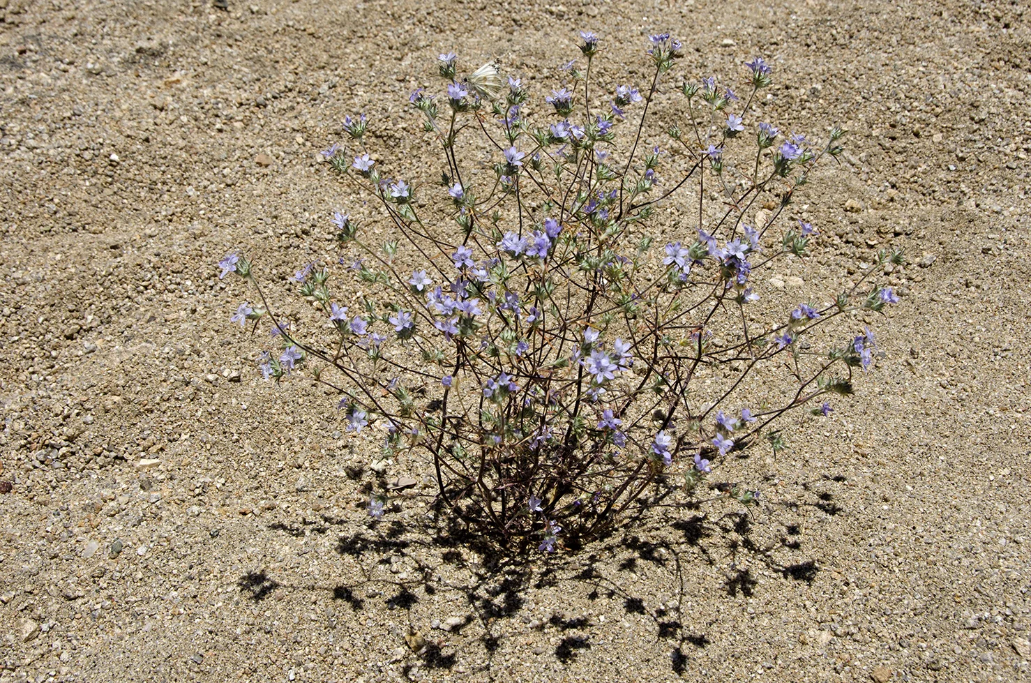
I don't know what this little plant is called, but it apparently enjoys the washes as well.
After following along the wash for a spell, we decided to cut cross-desert and start heading up to see if we could discover the grated mine shaft that had prompted this expedition.
Like a lot of people, when I'm sure I know where I'm going, I don't look at maps or ask directions. I knew we were getting close to the mine shaft when this view opened up. Off in the distance you can see a large pile of tailings and several grated mine shafts. These are on the east side of Gold Dust Gulch and are some of the main workings of the Desert Queen Mine. I knew I had to continue to climb somewhat southeast to find the mine I was looking for. But just to be sure, I pulled out the Garmin and checked my coords, then continued on.
Who else sees a face in that large rock?
I was nearing the top of the ridge, and was sure I would find the mine on the other side, or at least be able to see it. I knew I was close. When I crested the ridge, I saw something unexpected, and a mystery presented itself to me, atop a rocky ridge in the middle of nowhere. I love that feeling.
A rather large, flat area. And see that stone standing upright in the middle ground, with rocks around its base? That doesn't happen by accident, so I headed over the check it out, to see what I could find.
OK, so why is this marker here and what does it signify?
This stone was lying next to the standing marker.
And a short distance away, this rock face was inscribed with similar markings. I love a mystery. My guess is that it has to do with the Desert Queen Mine, as the shaft I was searching for was nearby and the DQ Mine isn't that far from this site. Odds are that these are all claim markers for the DQ Mine holdings. Maybe there are other markers scattered about awaiting discovery.
Climbing a bit farther, I came to a small bluff and looked down upon the grated mine shaft. There's quite a large pile of tailings in front of it. I scampered down to get a closer look.
This is one deep shaft. I did a very scientific test to determine the exact depth. I dropped a rock and listened to it hit the sides of the shaft and eventually the bottom. I concluded it is very deep. Looking around, I didn't find any trace of a trail or road leading to this shaft. My guess is that the men and machinery needed to dig this hole probably came up the ravine that exits into Snake Wash below.
Retracing my steps back up and back down, I met Murbachi (who doesn't always share my enthusiasm in wandering up and over rock-strewn hills in search of mine shafts) in a small valley that borders one of the old roads that leads to the DQ Mine. He spotted this old can dump, full of desert gold.
A short distance from the can dump, the remains of an old stone cabin stand near a nameless rocky hill. What was interesting with these remains, there was no evidence of the other two walls. Maybe they were made of wood and canvas, but there was no trace.
The Bear Cub
So after traipsing around up in the hills for a good while, it was time to head back down into the wash for part two of the hike: finding the Desert Queen Dam.
Hiking along in the deep sands of Snake Wash, the Piñon pines began to become more numerous and ever larger. I've two guesses as to how the wash received its name, one has to do with rattlesnakes and the other the serpentine path of the wash itself. The farther along we hiked, the more twists and turns the wash took.
We found a couple of pictographs along the way, I'm sure we probably walked by others. This panel is out in the open, but rather high up in the rocks and is easy to miss.
These were a bit more hidden. Two human figures and what could be a ram's head. Maybe some rain or lightning above the stick figures, it's fun to try to figure out what these might have meant. With all the side canyons, overhangs and boulder caves along the way, there just wasn't time to explore all the possible places were Native American artifacts might be hidden. Maybe when I'm retired.....
The rock formations straight ahead are known as the Double Cross Rocks, for the "X" patterns along their face. And as it turns out, "X" marks the spot for the ravine that heads up to the grated mine shaft from earlier in this post.
A look at the tailings pile, from down in the wash. Still couldn't find any road or trail to that shaft.
The area around Double Cross Rocks also appears to be an area where huge chunks of rock like to break off from enormous boulders.
The number of footprints tells me that this is a popular hike, but there's little information to be found online about this area. Let's keep it our secret.
I call this rock Ancient Reptile Monster Head.
Perhaps the tallest tree in Snake Wash.
Every once in a while, the canyon that holds Snake Wash narrows down. I'd love to see a flash flood rush through this channel, from away up high, of course.
After the narrow channel, the wash opened up a bit to this pleasant little bowl, filled with great rocks and trees. Up ahead is perhaps my favorite Piñon pine of the day, and it was a nice place to sit and take a break.
A great shady spot. The temperature was in the low 80s, but with a slight breeze, it was a perfect day to make this hike. I imagine it can really bake in here during the hotter months. From this spot, the wash turns and heads due north for a short distance, before taking a turn and then heading almost due south. Snake Wash.
A large, happy Juniper.
A Honey Mesquite plant. These guys love washes and have the potential to grow to 20 feet in height.
Another narrow channel, a couple more twists and then we had reached our destination.
Looking north, over the top of the dam. That jumble of boulders in the ravine straight ahead could probably be scrambled down by someone more agile than I, and would lead to Gold Dust Gulch and the working of the Desert Queen Mine.
Murbachi and I couldn't determine if the higher portion of the dam goes down deep into the sand as additional support for the dam, or if it is just a higher ledge of the dam. My hunch is that the dam is comprised of two stone and cement walls, both reaching down to the same depth.
Steel cables for additional support. Overall it appears to be a very well built dam.
These pipes would have fed into other pipes leading down the canyon, where the water was stored and used by the workers of the DQ Mine.
The Desert Queen Dam. A lot of work went into its construction. It would be great to be able to go back in time and see it when it was first built, with a nice reservoir of water behind it. Maybe some day I'll be able to find information about who built it and when. But until then, I'll just have to say, I enjoyed the trip! And was reminded once again that JTree holds many secrets. If you've been to this area, I'd love to hear your thoughts in the comment section below. Thanks for reading to the end.
I hope you've enjoyed this post. If any of my pictures grabbed you, feel free to download and save them to your computer. There's no charge, and don't worry about any copyright issues, because I don't. My images are free for your use and enjoyment. Credit back to Cali49.com would be nice, but it's not required.