
Stirrup Rock: The Scenic Route - Joshua Tree National Park
/Trek Date: November 19,2018
The Stirrup Tank/Stirrup Rock area, located near White Tank Campground, is a great place to spend a day hiking, scrambling and photographing. Literally tons of rocks to climb, name, take pictures off, fall off of, get scraped on and explore. If you’re lucky, you’ll find a hidden dam, or Native American campsites with bedrock mortars, pictographs and petroglyphs. If you’re unlucky, you’ll still have a great time.
Parking is scant, a small turnout loop at the end of an unpaved road that shoots off from Pinto Basin Road just a bit south of the entrance to White Tank Campground. Limited parking generally equates to limited number of people, so if you like to explore without running across a lot of other visitors, this is a great place to spend some time. I’ve never seen more than five cars at the parking area, usually only one or two.
Most visitors to the area, if they’re interested in seeing the major named rock in the area, Stirrup Rock, will simply park and head south a couple hundred yards or so. But what’s the fun in that? Taking the “scenic route” is much more fun. Of course, there’s no trail. There’s rocks to scramble over, gullies and washes to traverse, hills to climb, mountain lions to pretend aren’t following you, picturesque piles of distant rocks that make you want to sidetrip every five minutes to explore them and moments that might take your breath away.
There are “scenic routes” everywhere in JT, but they’re not for everyone. It’s absolutely necessary to do some homework prior to hiking off-trail in JT. If you’re not intimately familiar with an area and well-versed in using your GPS or map & compass, it’s probably best to stay on the more developed trails. But if you are comfortable with no trail, cross-desert hiksploring, you can find solitude just about anywhere in the park on the most crowded holiday week, after five minutes along the “scenic route.” And see things that 95% of the visitors to JT never do.
Note: Objects on map are MUCH larger than they appear.
So that’s what I did. Headed west, south, east and north. Roughly 4 miles, approximately 3 hours. I pretty much knew where I was all the time, but more on that later. The pictures that follow are in sequence of things I saw, along the “scenic route.”
Time to get to the bottom of this, yes, that is White Tank Campground way off in the distance, under the “full moon.” Sometimes I just crack myself up.
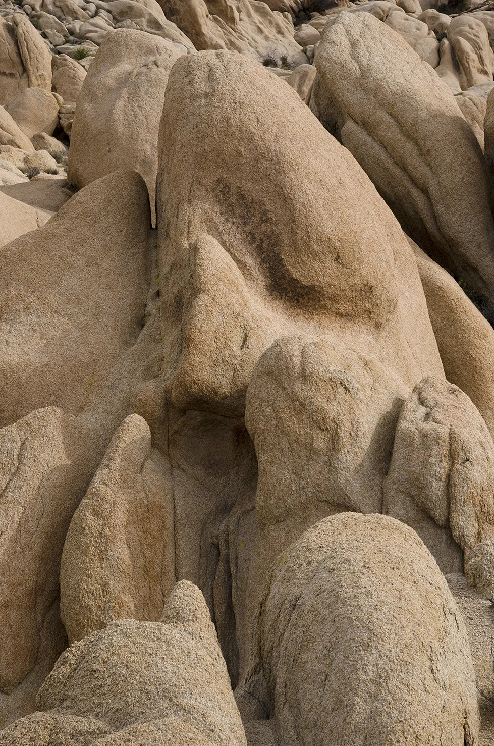
I see a kneeling person in this rock.
I remembered this spot from a previous trip, and was able to find “Pinhole Arch” once again. I like this shot much better than earlier attempts.
This looks like a nice place to camp. Too bad it’s not in the backcountry, would be fun to spend the night here.
What’s a scenic route without a vista? “Cholla Viewpoint.”
The path less traveled. It almost seems like someone lined a walkway with stones. But they’re really a geologic formation known as “dikes.”
“Visitors also wonder about the “broken terrace walls” laced throughout the boulders. These are naturally occurring formations called dikes. Younger than the surrounding monzogranite, dikes were formed when molten rock was pushed into existing joint fractures. Light-colored aplite, pegmatite, and andesite dikes formed as a mixture of quartz and potassium minerals cooled in these tight spaces. Suggesting the work of a stonemason, they broke into uniform blocks when they were exposed to the surface.”
I wonder if this guy has an annual pass?
My circumnavigation of the Stirrup Rock plateau area only took around three hours because I didn’t explore every interesting gully like this one. Always save something for the next visit. I’d like to make it up to the top of this area some day.
This picture was taken near the western-most portion of my trek, looking almost due east. Kinda looks like an arch way up there at the top….
And looking to the west from nearly the same vantage point as the previous image, I discovered the “Land of the Gnomes.” Another area that will have to wait another day for explorotogrophy.
Der Schrei der Natur
……Granite Munch
Vibrant and healthy, these Ferocactus cylindraceus began to appear. It’s amazing how they can grow and thrive from a small amount of gravel in the crevice of a rock.
Along the southern portion of my travels, I had been following the wash, believing it would take me around the ginormous clump of rocks I had been circling. That belief sprang from the map in my mind, which isn’t always 100% accurate. But I’m still getting ahead of that part of the trip.
The wash narrowed down, as washes are wont to do, snaking through this neat little canyon.
It was somewhere along here that the thought ‘mountain lion habitat’ popped into my mind, and of course, once there it wouldn’t leave. Were those big cat tracks in the sand? Exactly how far away from Tac3 am I? Oh well, nothing to do but traipse onward.
And then the thought came to mind, “lots of times these narrow canyons take big drops along their path.”
Well, that doesn’t look like too far a drop. And the sand looks soft. And it looks like someone, or something, has made the jump recently. Those don’t look like boot tracks…. I jumped.
After surviving the plunge, I continued along the canyon which began to widen out. It’s a pretty neat spot, the type of which you don’t find everywhere in the park.
Around this time, about 2-1/2 hours into the hike (in that big wash at the SE corner of this image), I pulled out my GPS to verify what I was thinking. Namely, that I needed to head north rather than continue along the wash, because I didn’t want to end up in Pinto Basin… I had hoped thought that the wash would circle back towards the north a bit but wasn’t going to chance it. So I started heading northwesterly.
This is looking southeast, down the “Valley of Despair.” The way forward was blocked, so I headed down into the valley and then up the other side.
This pile of rocks definitely needs a return trip. It almost appears that there is a road leading up the side of the hill, starting in the foreground.
“The Bone Pile.”
From here it was pretty much all downhill, just a matter of watching where my feet were going. I passed by lots of areas that looked promising for exploration. I’d been in the area a couple time previous while searching for Native American sites (which are abundant). There’s also a tank in this vicinity called “Hidden Tank,” which lives up to its moniker. I haven’t been able to locate that one yet. Some day.
Panoramic view. Stirrup Rock on the far right, tons of interesting rocks all over the place.
The “scenic route” payoff: The only time I heard/saw any other visitors was within a quarter-mile of the parking area. Not that I have anything against visitors, I’m glad that so many people are discovering JT for themselves. I just enjoy the desert solitude. Hope you found my field report entertaining.
If any of my pictures strike your fancy, I hope it didn’t hurt too much. Feel free to right click on any of the images to download them to your device or computer. Use them for whatever purpose makes you happy. Credit back to www.Cali49.com would be nice, but it’s not required. No strings attached. #FreeThePixels #Share


- Abandoned Mine
- Barker Dam
- Bill Keys
- Cali49
- Cali49.com
- Camping
- Cap Rock
- Cattle Ranching
- Day Hike
- Desert Queen Mine
- Geology Tour Road
- Gold
- Gold Mine
- Gold Mining
- GoPro
- Hidden Valley
- Ivanpah Tank
- Johnny Lang
- Joshua Tree
- Joshua Tree National Park
- JOTR
- JTNP
- Jumbo Rocks
- Lost Horse Mine
- Lost Horse Valley
- Mine
- Mining
- Mining Camp
- Mojave
- Native American
- Native Americans
- Old Dale Road
- Park Blvd.
- Petroglyphs
- Pictograph
- Pictographs
- Pinto Basin
- Pleasant Valley
- Quail Springs
- Roadtrip
- Rock Art
- Rock Climbing
- Rock Dam
- Rock Scrambling
- Rocks
- Ruins
- Ryan Ranch
- Stamp Mill
- Wall Street Mill
- Water
- White Tank
- Wildflowers
- Wonderland
- Wonderland of Rocks
